
Mist Mountain Hot Spring
Mist Mountain Hot Spring
Hot Spring
Reserved for experience hikers, Mist Mountain Hot Spring is not for the weak of knee or faint of heart, but every step is worth the breathtaking views.
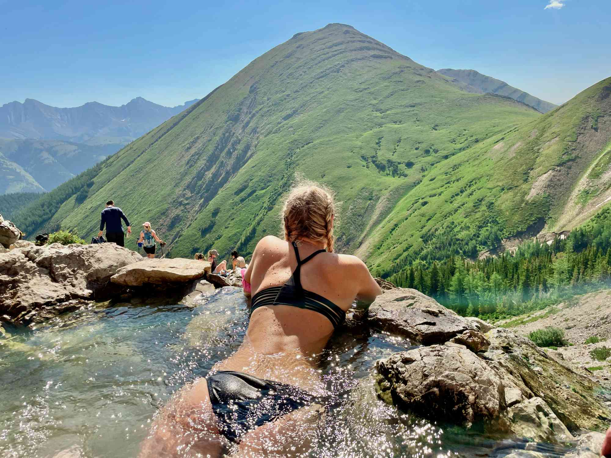
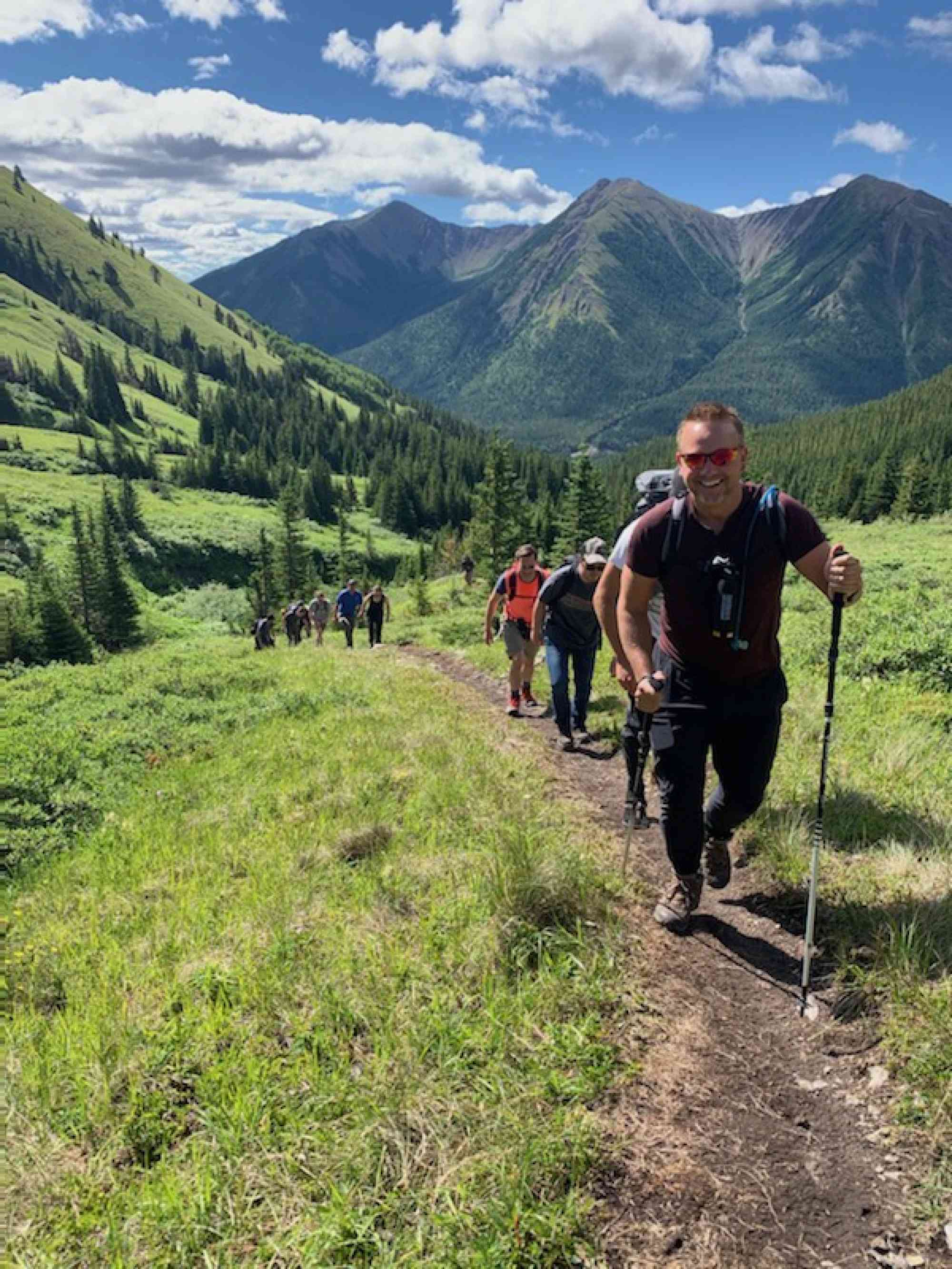
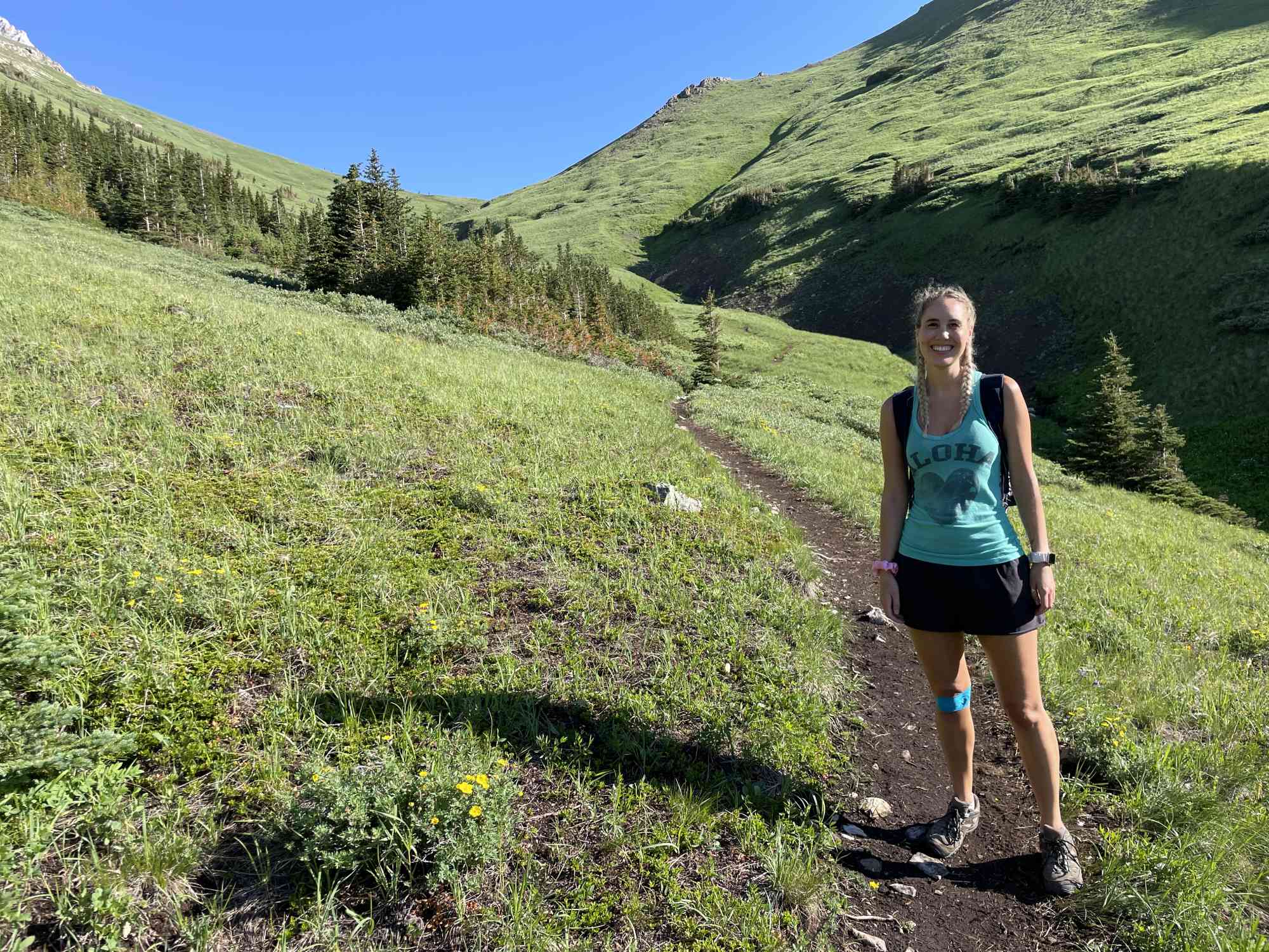
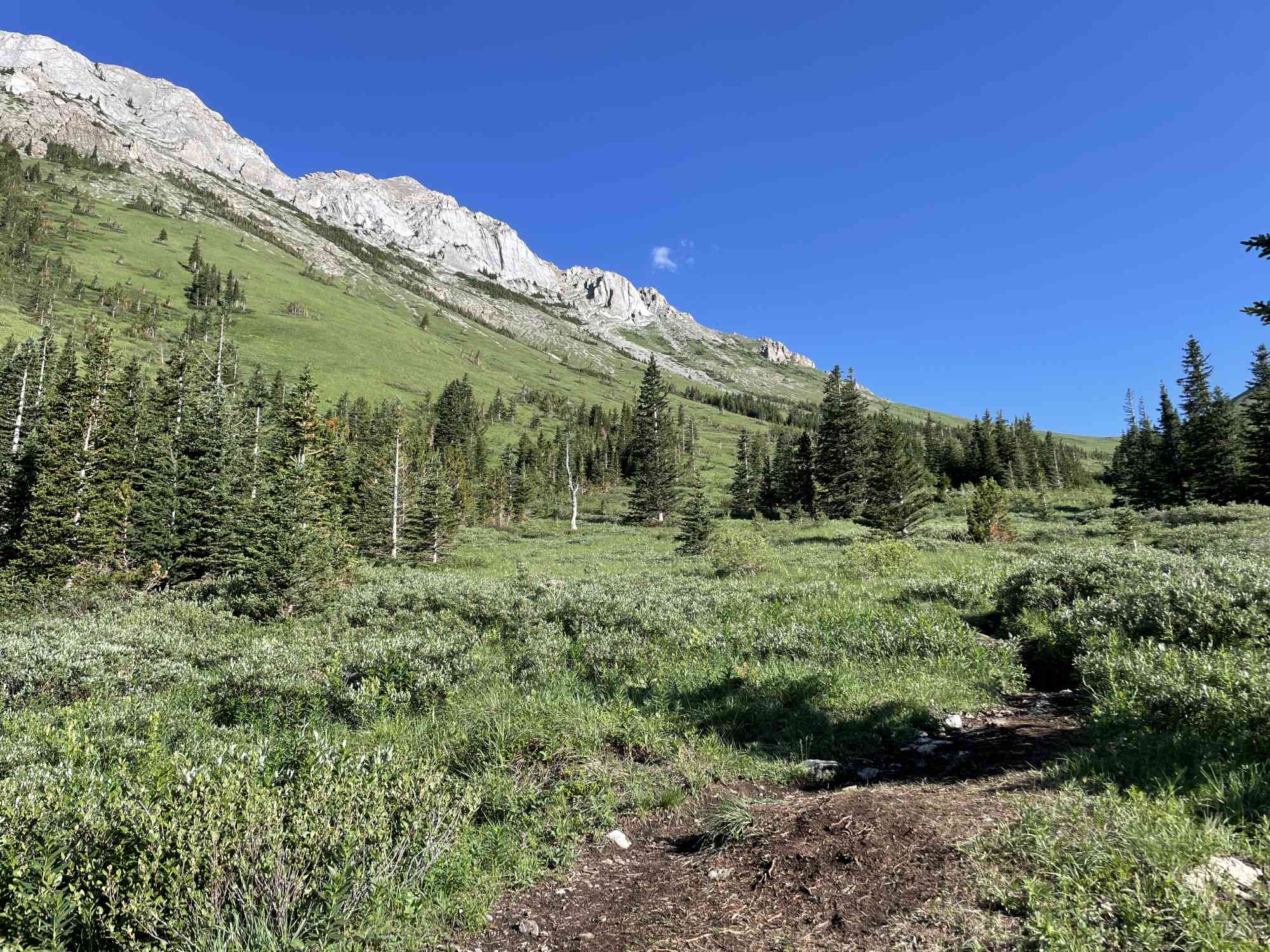
Mist Mountain Hot Springs is a natural hot spring located in the Kananaskis Country of Alberta, Canada. Situated at an elevation of about 1,600 meters (5,250 feet) in the Rocky Mountains, it is accessible by a moderate 5 km (3.1 miles) hiking trail that starts at the Mount Lipsett parking lot.
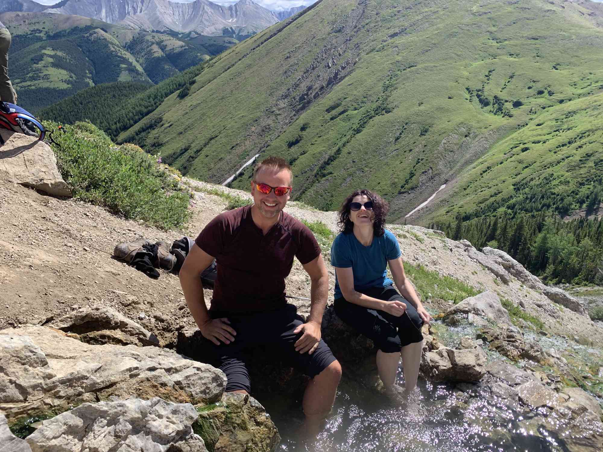
The hot spring's water is naturally heated by geothermal activity, flowing out of the ground at a temperature of approximately 40°C (104°F). Rich in minerals such as magnesium, calcium, and sulfur, the water is believed to have therapeutic properties that help to soothe sore muscles and joints.
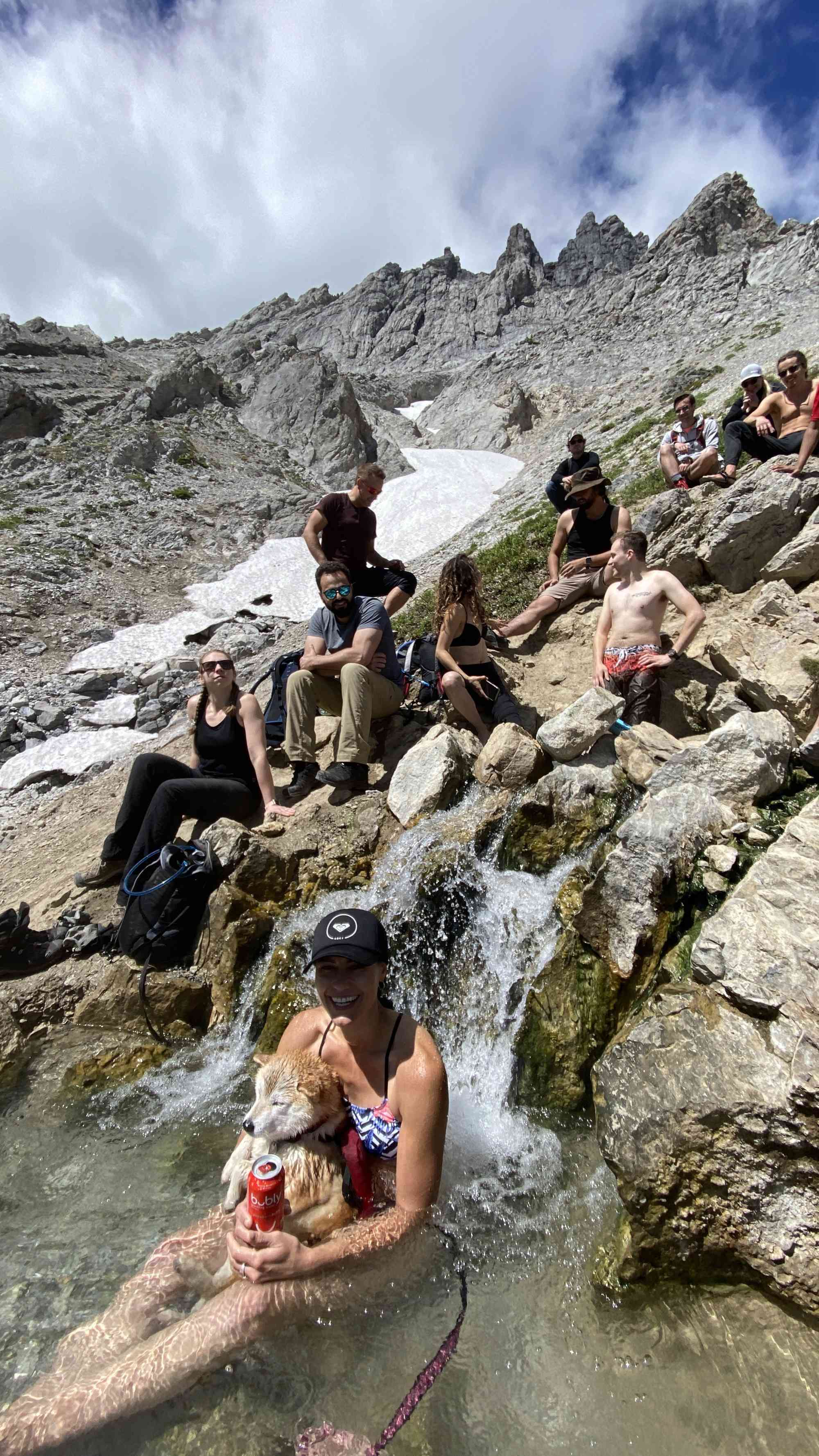
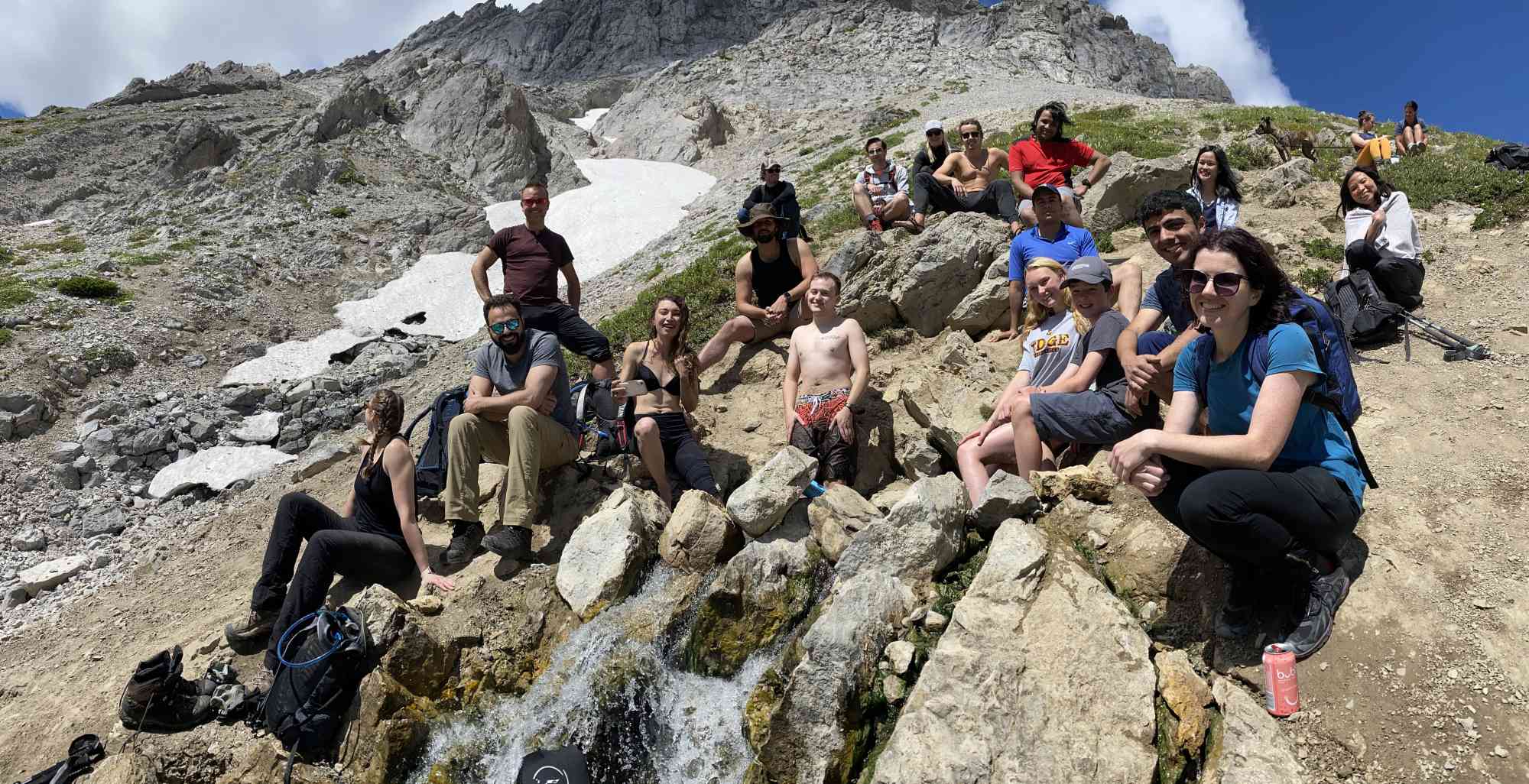
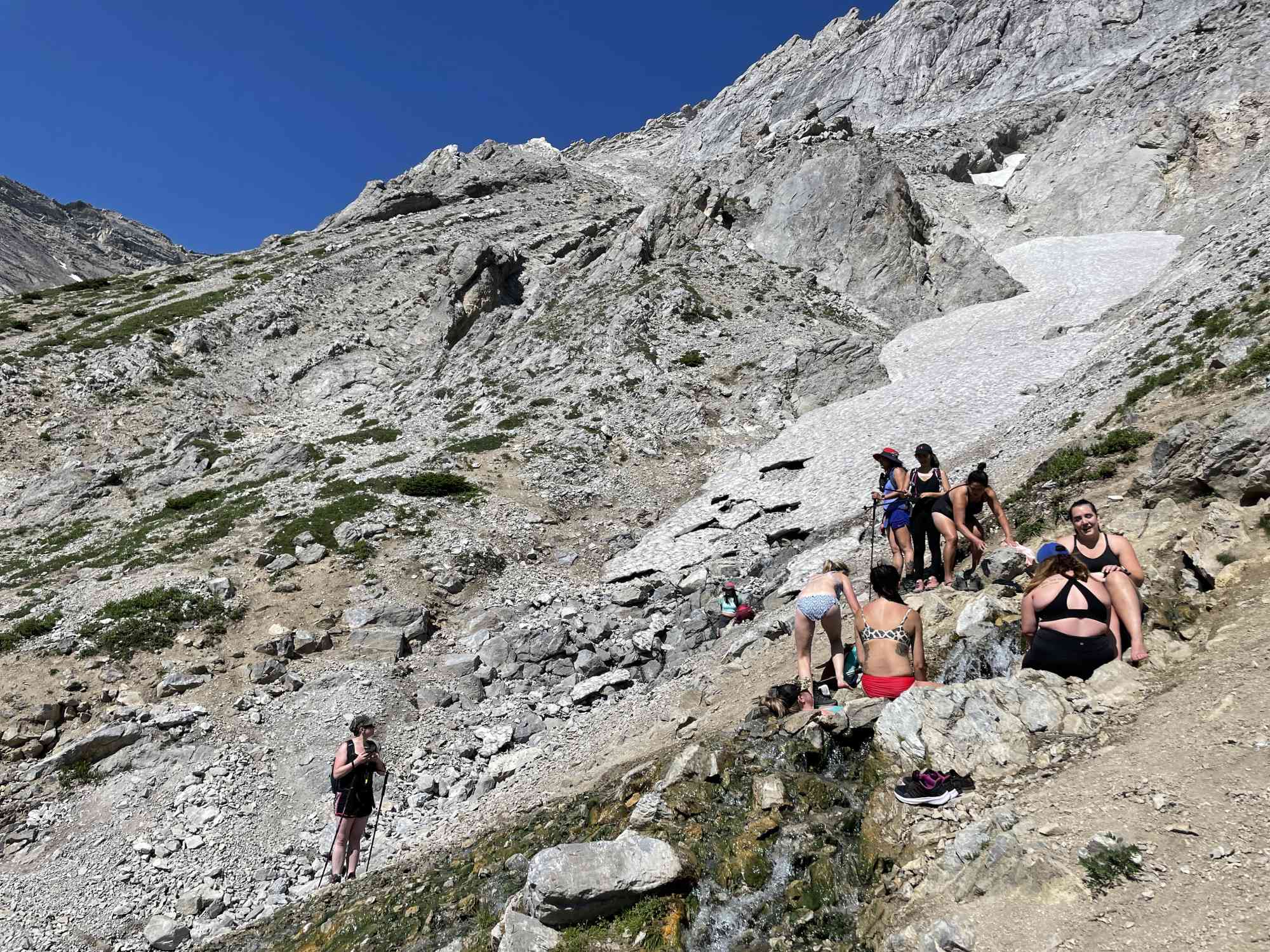
Upon arrival, visitors are met with a series of natural pools, surrounded by rocks and boulders, that are fed by the hot water. The alpine setting provides stunning views of the surrounding mountains and forests.
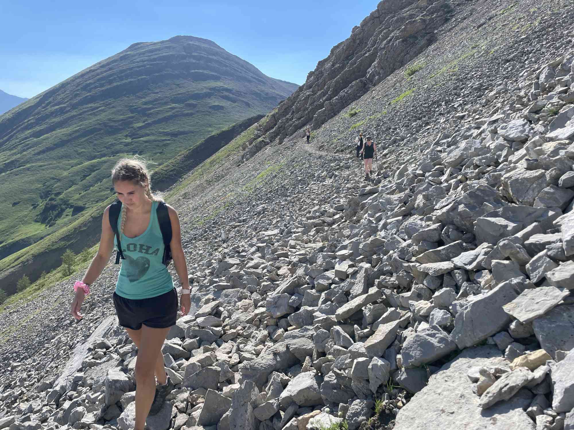
It's important to note that Mist Mountain Hot Springs is a very remote and undeveloped site. As it is difficult to access, the trek to this destination is only recommended for experienced hikers who are readily equipped for the back country. The trail is not well marked as it is not an overly popular spot.

Address
Notable GPS Co-ordinates
Detailed Directions
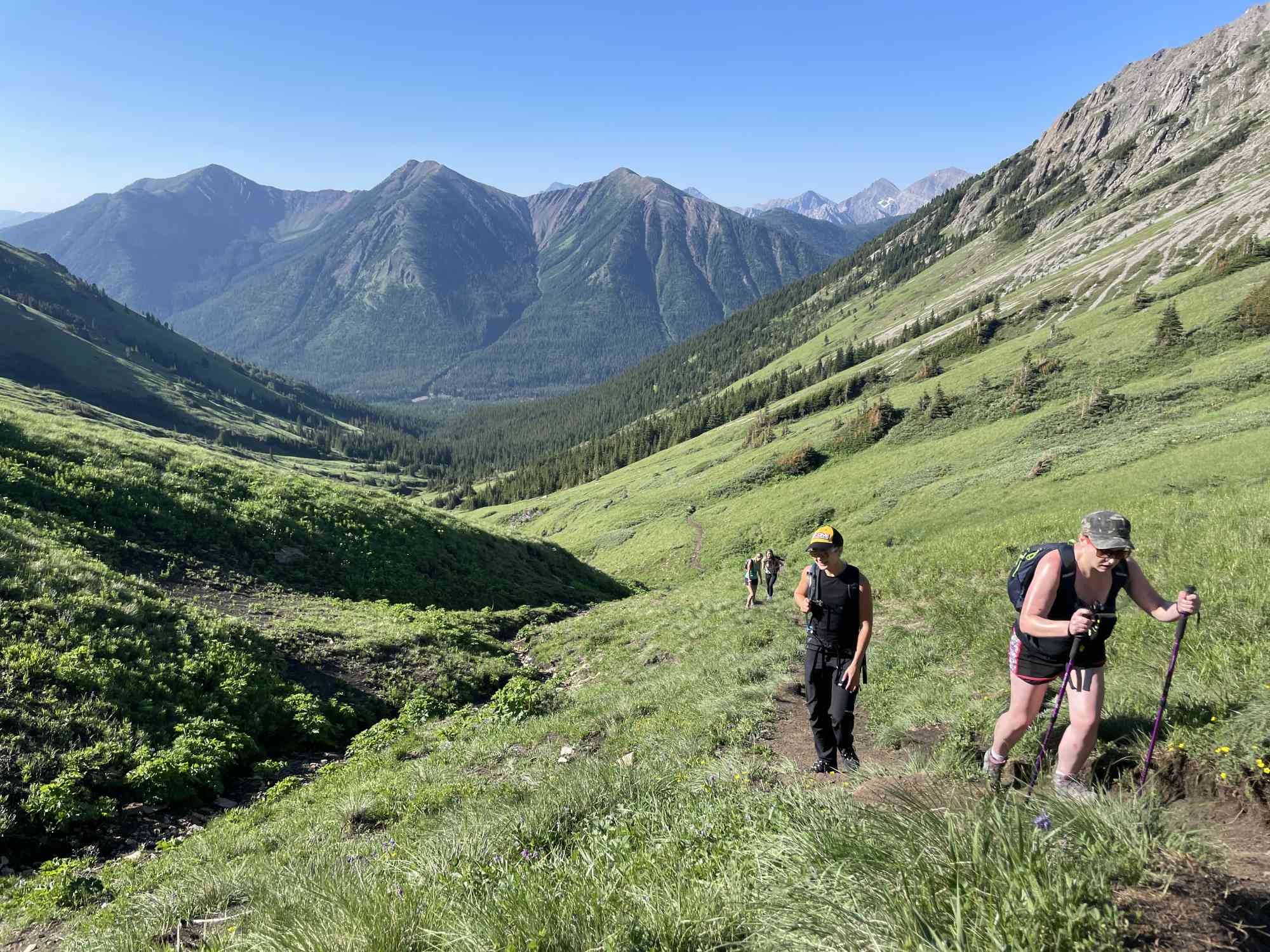
To reach Mist Mountain Hot Springs, plan for a full day trip from Calgary or Banff. Begin by taking the Kananaskis Trail (Highway 40), which is located about 50 km (31 mi.) east of Banff and 70 km (43 mi.) west of Calgary. Follow the paved highway south to Highwood Pass, which is approximately 74 km (46 mi.) from Highway 1. Beyond the pass, you'll find the Mist Creek recreation site, which is clearly marked. Park beside the road about 0.8 km (0.5 mi.) back along the highway, after making a U-turn.
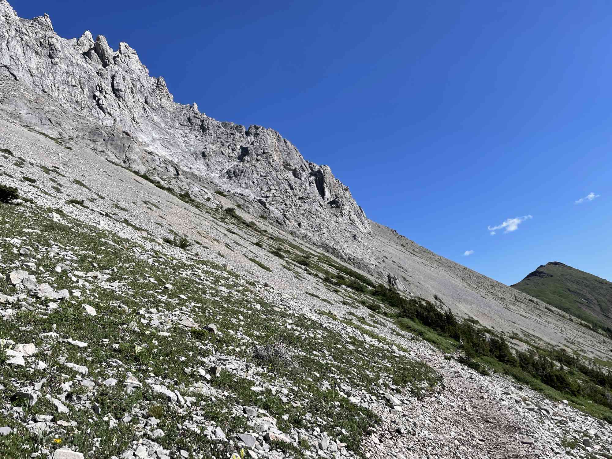
Next, look for an old road in the trees east of the highway, and hike a short distance along it to a junction. From here, turn right and follow the road uphill until it ends. Climb steeply through bush and timber to reach the treeline at the base of a steep, grassy slope (note that it can be slippery when wet). Continue up to the crest of the ridge, which is locally known as Eagle Ridge. Follow the ridge crest northwest for about 1.5 km (0.9 mi.) to its summit, then drop west down a steep, grassy slope to the col between Eagle Ridge and Mist Mountain.
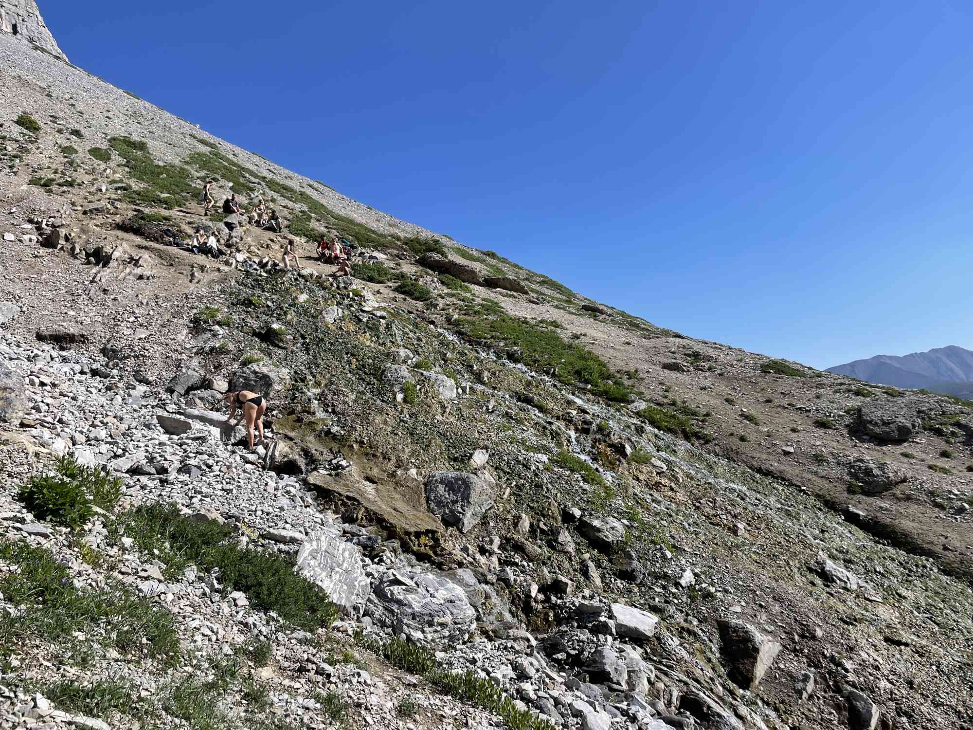
From the col, you'll be able to see the spring across the valley that drains the southeast side of Mist Mountain. Look for a creek that comes from brown rocks above timberline and just below a big cliff. The spring is at the head of the creek at about the same elevation as the col, roughly 2470 m (8100 ft.). To reach the spring from the col, contour west over scree, rock, and meadows.
Once you arrive, you'll find that the spring is at the top of a long, narrow scree gully.
Leave a comment
You must Login to post a comment!